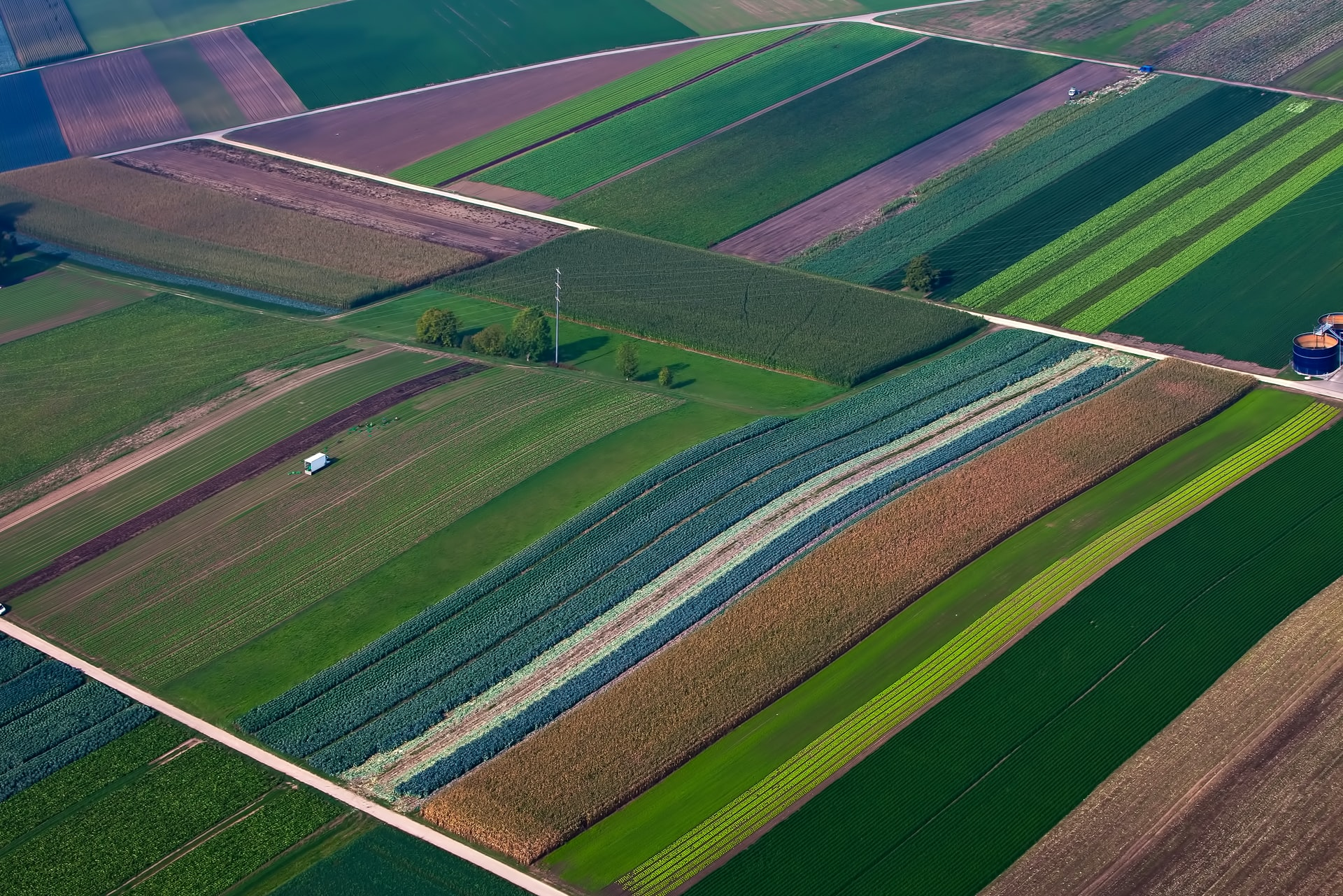


Data Ingestion
Ingests satellite imagery, weather, terrain, and field records into a unified geospatial pipeline.
What Earthward does
Powered by open data
Core capabilities

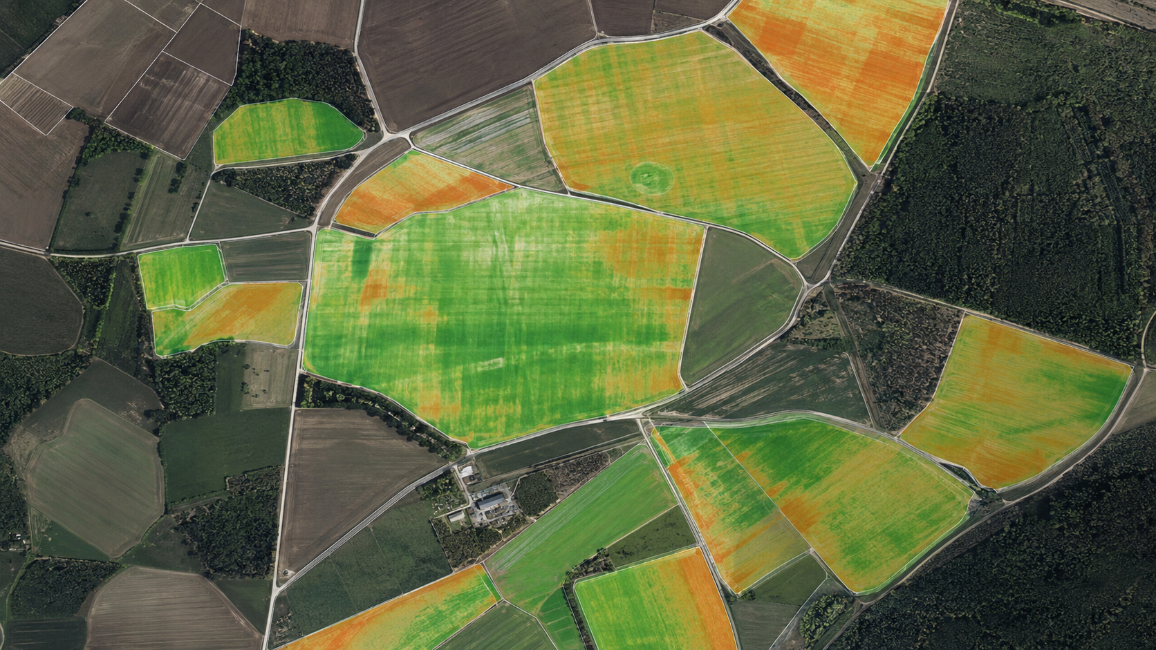
Earthward maps agricultural plots and identifies where climate interventions are most feasible. Using satellite imagery, weather history, field boundaries, and land signals, we help partners locate eligible plots and establish a baseline for action.
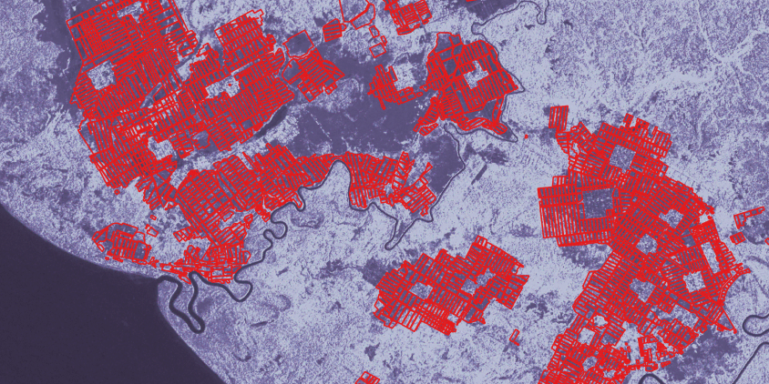
Earthward combines satellite observations, weather data, and field records to track whether interventions are being implemented and what impact they are creating. This enables transparent monitoring and creates the basis for trusted climate claims.
Earthward workflow
Ingests satellite imagery, weather, terrain, and field records into a unified geospatial pipeline.

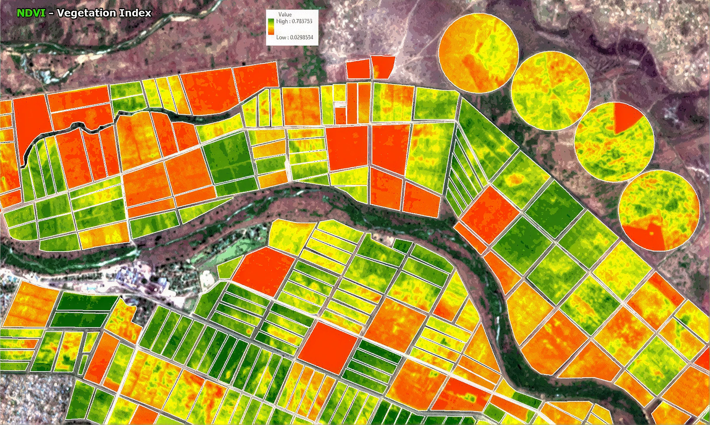
Builds plot-level insights including crop type, historical trends, water status, and environmental signals.

Tracks changing field conditions and implementation markers across time.

Estimates emissions impact and supports reporting, incentives, and carbon-market workflows.